Rural land subdivision in the Mullumbimby hinterland, year 2011
Stakeholders, contracts, processes and outcomes in rural land subdivision.
Mandatory local government development application approval brings certainty to the land subdivision process.
On acceptance of a land subdivision survey instruction, the NSW Registered Land Surveyor essentially also enters into a contract with the land regulatory authority, being New South Wales Land and Property Information (NSW LPI ).
In the Deposited Plan Administration Sheet, which accompanies the lodged Deposited Plan of Survey ( DP ) to NSW LPI, the Registered Land Surveyor certifies that the survey represented in the plan has been undertaken in accordance with the Surveying and Spatial Information Regulation 2006 and that the Surveyor is Registered under the Surveying and Spatial Information Act 2002.
To ensure best practice competency in the provision of land surveying services, the continuing integrity of land boundaries in NSW and also for the protection of community interests, only surveyors registered with the NSW Board of Surveying and Spatial Information ( BOSSI ), can undertake land boundary survey and certify formal deposited plans of land survey.
The local Council’s General Manager or authorised representative, certifies in the Subdivision Certificate on the DP Administration Sheet, that key provisions of the Environmental Planning & Assessment Act 1979 ( EP&A Act ), have been satisfied with respect to the land subdivision. The land owner (s) is also required to sign the Administration Sheet.
The lodged survey plan documentation, additionally requires the LPI Deposited Plan Checklist for Surveyors, to be completed and certified by the Registered Surveyor. Any requisitions arising from survey plan examination by the NSW LPI must be responded to by the Surveyor, who undertook the land survey.
Procedures and responsibilities in rural land subdivision.
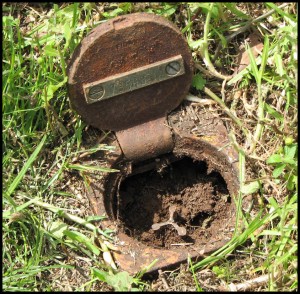
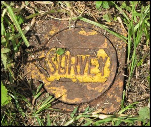
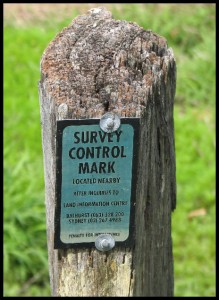
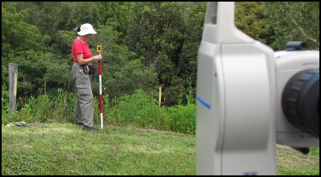
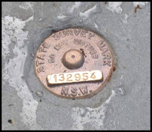
Necessary tasks undertaken by the Registered Land Surveyor in land subdivision include, and are not limited to the following ~ Investigative research of relevant existing plans of survey, certificates of land title and local SCIMS control survey network data. Preliminary computations in COGO to facilitate on the ground survey investigation and precision measurement to resolve an acceptable land boundary reinstatement . Surveyed measurement connections from land boundary corners to specific survey control marks. Computations for the field marking of new land boundaries and preparation of final plan of survey documentation, acceptable to NSW LPI.
The registration of the deposited plan of survey and subsequent issue of new land titles for the newly created lots, completes the land subdivision process.
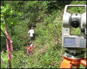
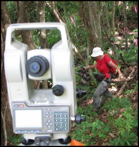
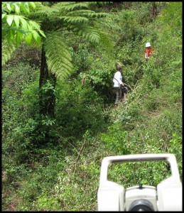
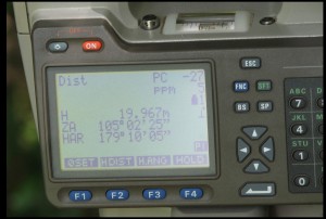
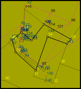
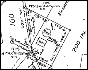
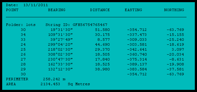
This rural land subdivision was located in the Mullumbimby hinterland about 20 minutes drive from the towns of Byron Bay and Bangalow, in the Byron Shire, far New South Wales north coast. The photo gallery below offers an insight to some aspects of the land subdivision process, both in the field and the office.
Left click to enlarge
……….
……..
Addendum ~ This rural land subdivision, undertaken by myself, was registered as DP 118 5516 in May 2013, by the Registrar General, New South Wales Land & Property Information.
Should you have any enquiries concerning land subdivision investigation in the Bangalow, Byron Bay or Mullumbimby hinterland, I offer as an experienced New South Wales Registered Land Surveyor, personal professional service and expert friendly advice, leading to successful client outcomes.
NEW SOUTH WALES NORTHERN RIVERS REGION - AUSTRALIA
BYRON BAY – BANGALOW – MULLUMBIMBY – BRUNSWICK HEADS – WATEGOS BEACH – ST. HELENA – OCEAN SHORES – SUFFOLK PARK – FEDERAL – WILSONS CREEK – BALLINA – LISMORE – TWEED HEADS – MURWILLUMBAH – LENNOX HEAD – TINTENBAR – CLUNES – BEXHILL – COORABELL – POSSUM CREEK – MYOCUM – EWINGSDALE – WANGANUI – GOONENGERRY – COOPERS SHOOT – EUREKA – MAIN ARM – CRABBES CREEK – YELGUN – CASINO – NIMBIN – BURRINGBAR – UKI – BILLINUDGEL – POTTSVILLE – WOLLONGBAR – ALSTONVILLE – MOOBALL – KYOGLE – HUONBROOK – NASHUA
Please visit my website for contact details.
An explanation of the above land related terminology, may be found in a glossary provided by the New South Wales Land and Property Information ( NSW LPI ), Registrar General’s Directions.
…….
