Land boundary survey for Ros at Wanganui in the Byron Shire
Rural Identification Survey to relate Residence Building to land and creek bank boundaries.
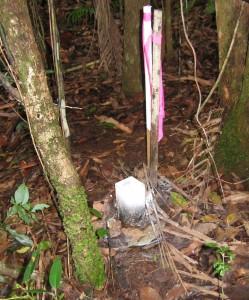
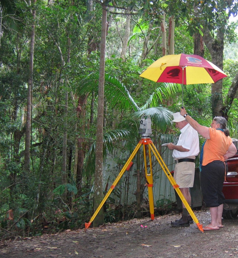
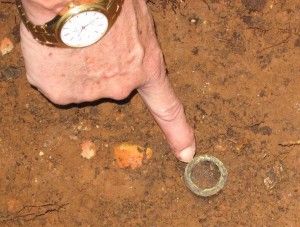
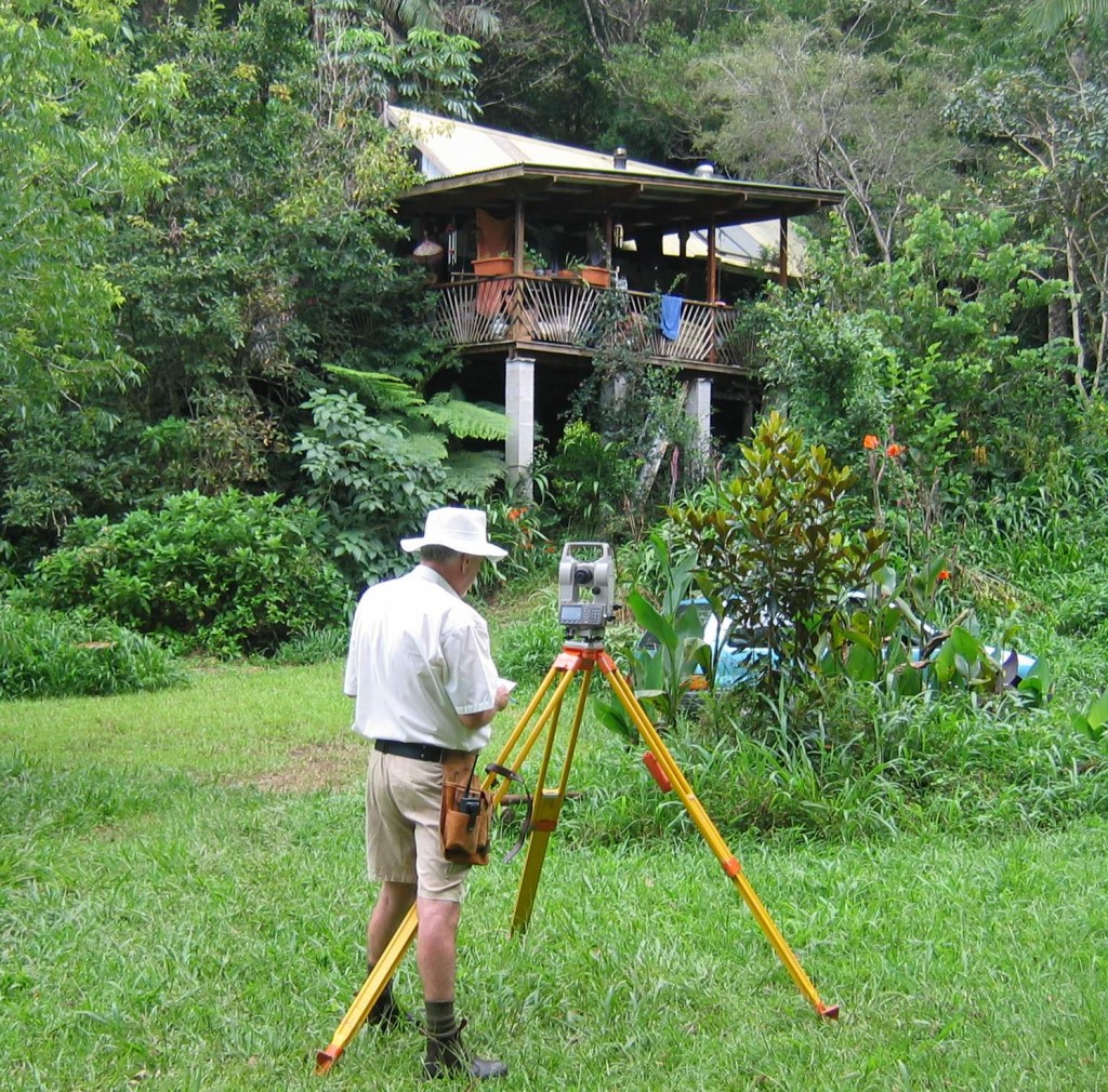
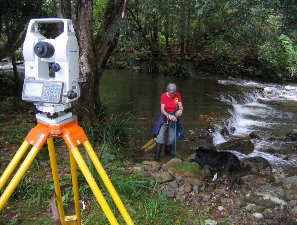
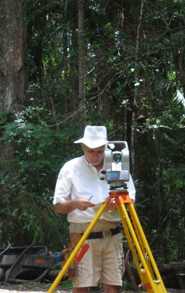
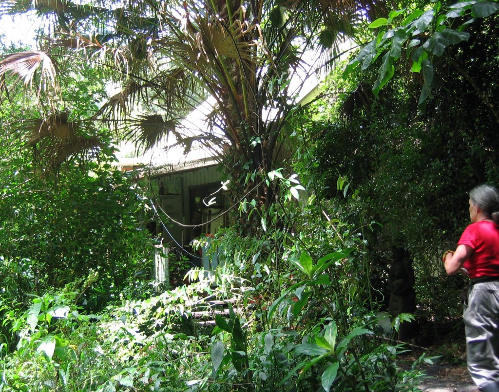
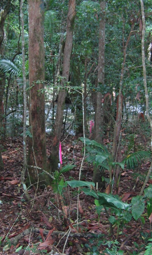
Selected photographs taken during the field survey investigation phase.
Left click to enlarge photos
A special thank you, Ros, for commissioning the survey of your property and for giving your permission to publish these selected photographs, taken during the field work phase on 21 January 2011.
Measuring land surveying instrumentation used in undertaking this field survey ~ Sokkia Total Station for precision bearing and distance measurement and Suunto Compass for preliminary approximate orientation.
Should you have any enquiries concerning the reinstatement of your land boundaries associated with an Identification or boundary remark survey in Mullumbimby or the surrounding hinterland, I offer as an experienced New South Wales Registered Land Surveyor, personal professional service and expert friendly advice.
NEW SOUTH WALES NORTHERN RIVERS REGION - AUSTRALIA
BYRON BAY – BANGALOW – MULLUMBIMBY – BRUNSWICK HEADS – WATEGOS BEACH – ST. HELENA – OCEAN SHORES – SUFFOLK PARK – FEDERAL – WILSONS CREEK – BALLINA – LISMORE – TWEED HEADS – MURWILLUMBAH – LENNOX HEAD – TINTENBAR – CLUNES – BEXHILL – COORABELL – POSSUM CREEK – MYOCUM – EWINGSDALE – WANGANUI – GOONENGERRY – COOPERS SHOOT – EUREKA – MAIN ARM – CRABBES CREEK – YELGUN – CASINO – NIMBIN – BURRINGBAR – UKI – BILLINUDGEL – POTTSVILLE – WOLLONGBAR – ALSTONVILLE – MOOBALL – KYOGLE – HUONBROOK – NASHUA
Please visit my website for contact details.
An explanation of the above land related terminology, may be found in a glossary provided by the New South Wales Land and Property Management Authority (NSW LPMA).
.
